St. Louis start
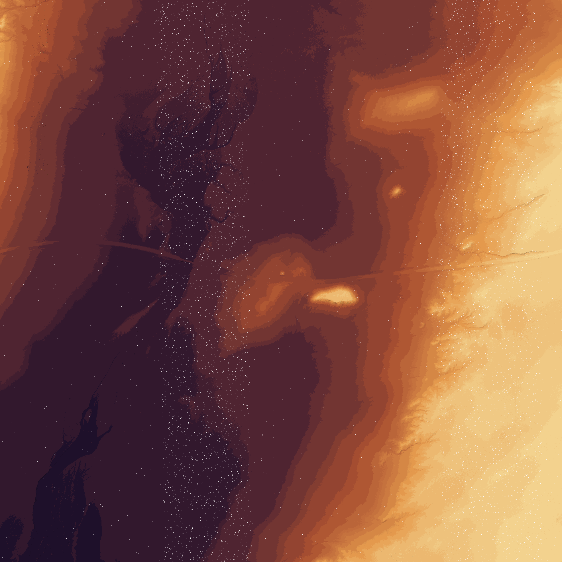
Anchor box covers the St. Louis / Chain of Rocks / I-44 entry zone and returned TNM LiDAR product metadata.
LiDAR terrain viewer
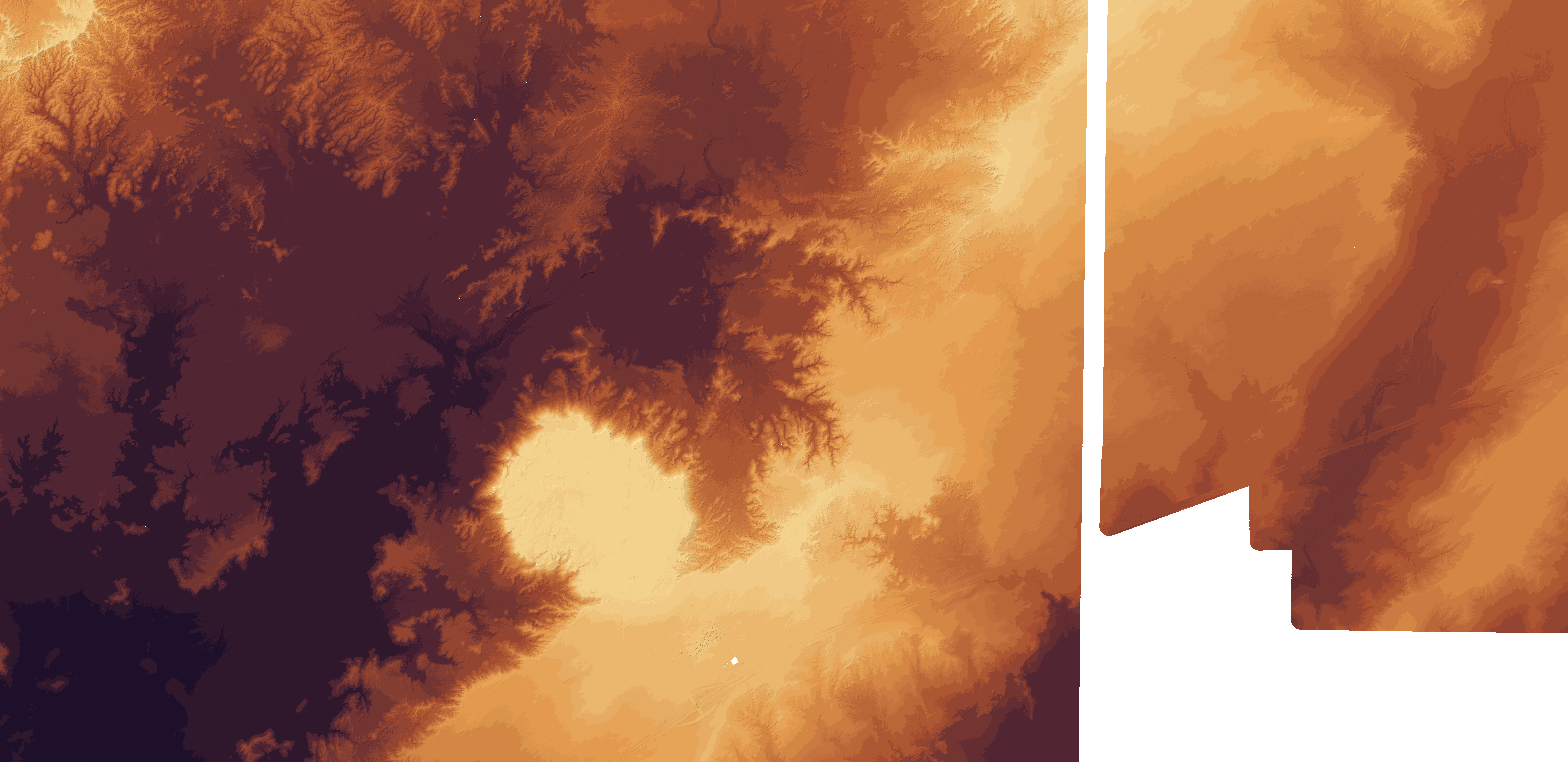
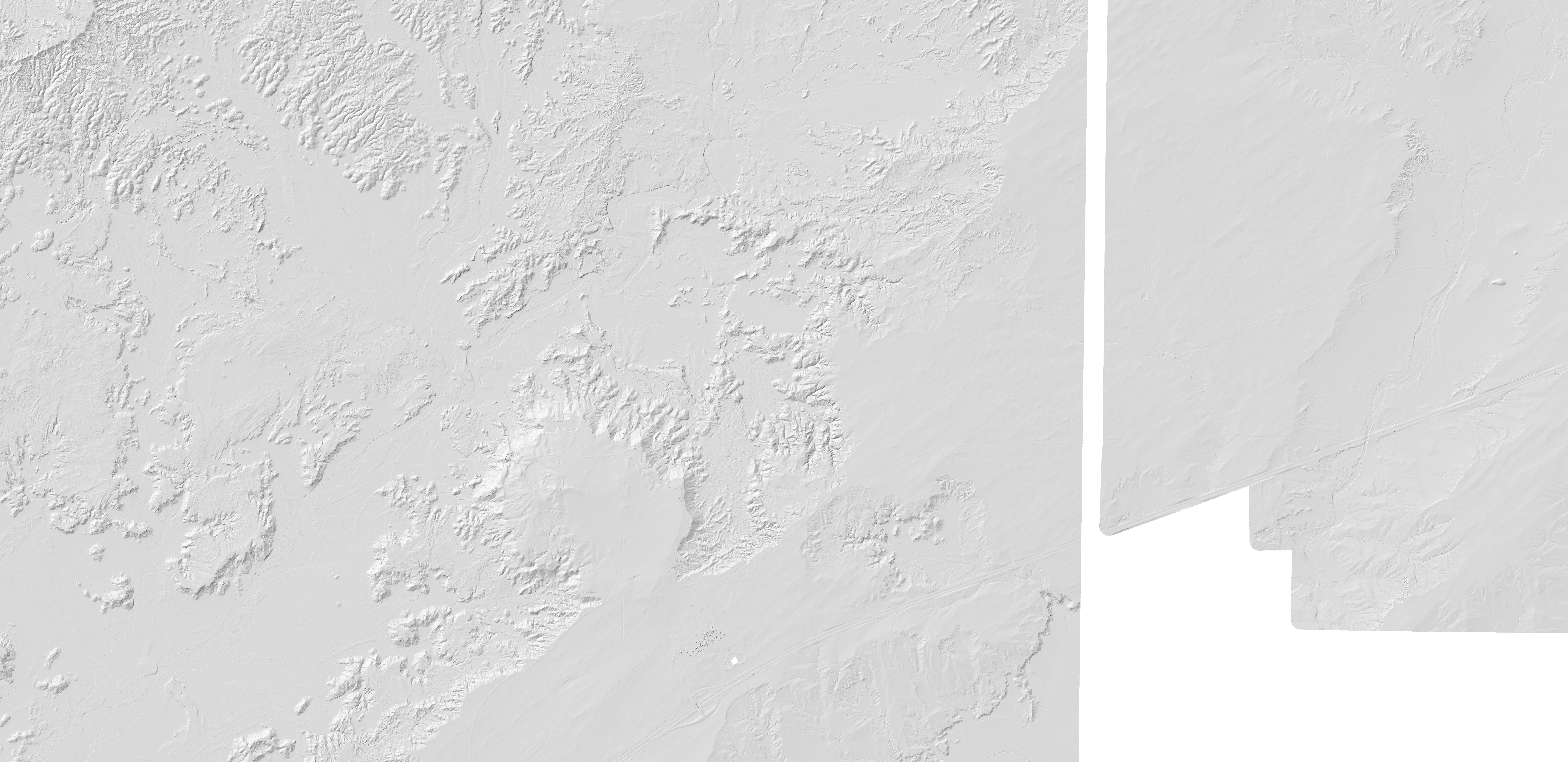
The same live map now carries the real Painted Desert image overlays and the Missouri / I-44 Route 66 LiDAR planning corridor from St. Louis through Joplin to Miami, Oklahoma.
Transparent overlays
Loading LiDAR image overlays...
Direct image previews
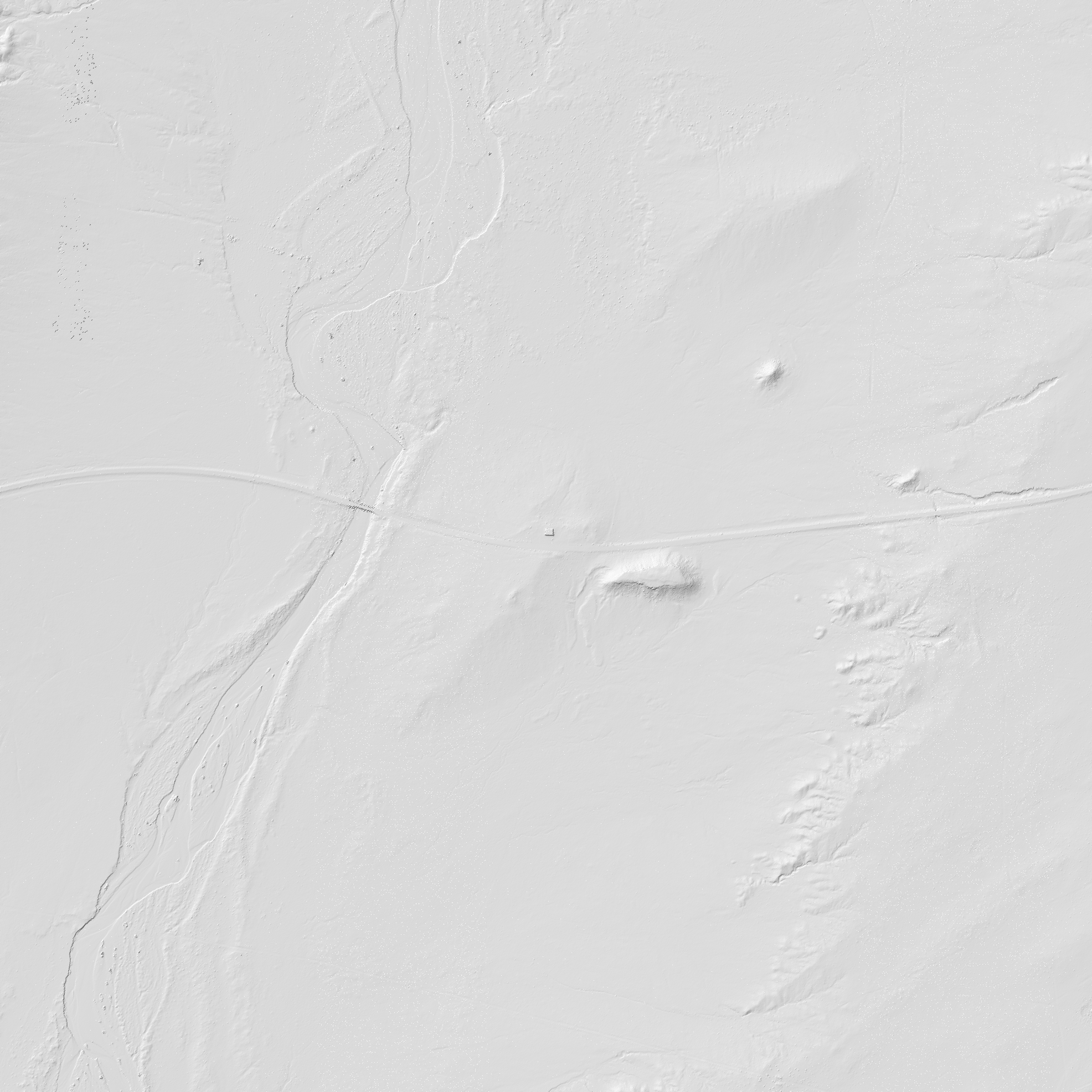
These previews are fast static PNGs. They are better for public viewing than asking casual visitors to understand LAZ, COPC, EPT, or a point-cloud viewer on the first visit.
Missouri + I-44 LiDAR corridor
The live map above now includes this 331.9-mile Route 66 / I-44 planning corridor with 35 ten-mile station boxes and a smooth 10-mile LiDAR buffer. Terrain PNGs like Painted Desert are the next render step.
Anchor box covers the St. Louis / Chain of Rocks / I-44 entry zone and returned TNM LiDAR product metadata.
The slice includes the Shamrock/Missouri Ozarks research area so old-road LiDAR can connect back to the larger corridor.
The western end reaches Miami, Oklahoma, so the Missouri work does not stop short at the state line.
Chicago to LA tile pipeline
Loading Route 66 LiDAR tile lanes...
Terrain source stack
For public pages, the better product is not a raw point-cloud download. It is a rendered terrain stack: hillshade, color relief, aerial context, route line, and source notes, all transparent on a normal map.
USGS 3DEP is the first-choice public LiDAR source for bare-earth terrain, hillshade, slope, and proof-area rendering.
Use public/approved aerial imagery such as USGS and NAIP-style coverage for current ground context when rights allow display.
Render heavy LiDAR once into PNG or future map tiles, then let visitors slide opacity instead of loading raw point clouds.